Between 2012 and 2021 extensive archaeological investigation has taken place at the Guildhall prior to and during the refurbishment of the main hall, and the construction of south and north annex.

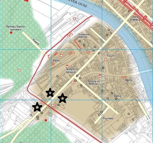
The Guildhall complex is situated on the north-east side of the River Ouse. It is located immediately outside of the Roman fortress, just up-steam from the Roman river crossing and was the site of a medieval Augustian Friary.  

In 2012, as part of the York 800 celebrations, York Archaeological Trust opened three trenches as part of a community excavation; inside and immediately outside the Guildhall building and within the Mansion House cellar. They examined the footings of the Guildhall on top of Common Hall Lane (an underground passageway leading to the river), looked to see if archaeology survived beneath the Mansion House Cellar and characterised the archaeology beneath the ground surface at the front of the hall. These trenches could only access the upper metre or so of archaeology on the site.

Further investigations took place in 2014 at the Hutments site, adjacent to the Guildhall by AOC Archaeology. The Hutments name derived from a temporary wooden building that stood on the site from the 1930s until 2014. This initial investigation, partially carried out as a community project, was an attempt to characterise and identify the archaeological make-up of the upper 1.5m in this part of the site.   

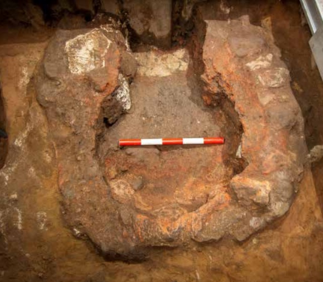
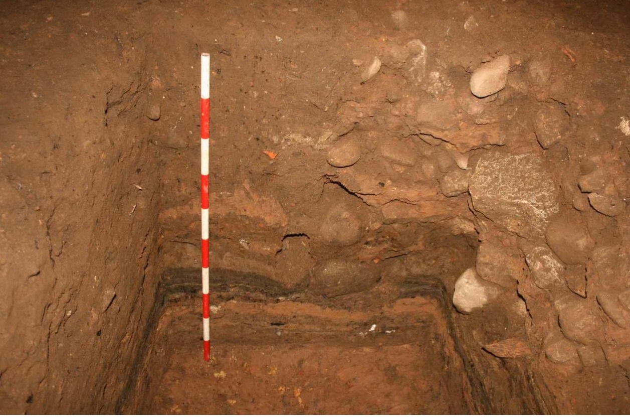
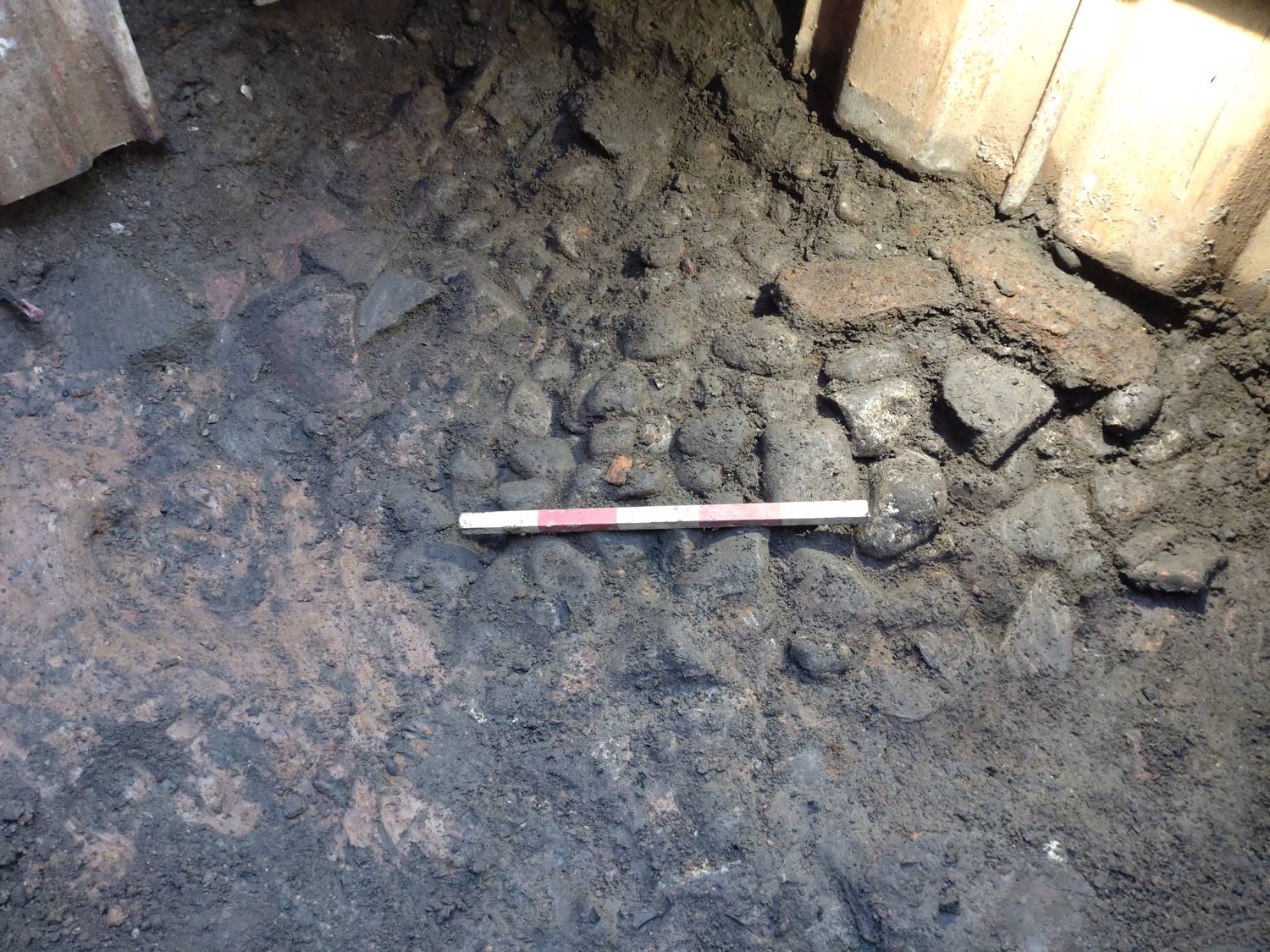
However, it was during the construction phase of the south range (York Archaeological Trust 2019) and north annex that the majority of archaeological investigation took place and where the most important findings were made.  Between 2018-2020 several phases of archaeological monitoring and excavation were undertaken by York Archaeological Trust. The North Annex works are listed under EYO8004. There are several reports available on the HER.

The most recent analysis report brings all of this investigation together and provides the most detailed results of the works. The findings will be published on Internet Archaeology and will also be distilled into an easy to digest version for the layperson by the end of the year.

There are currently 3 recent sites of Roman discovery on and around Micklegate. These sites of discovery are indicated on this image of a map with star icons. The map depicts the Micklegate area and the city walls are indicated through a red line.

Intro

Roman archaeological deposits in York city centre vary in depth from 9m+ below current ground surface to less than 1m in some areas. The best archaeology is usually at depths of 2m+ protected from historic development and the majority of services.

Recent evaluation to inform planning applications on Micklegate, Toft Green and works by Openreach on Queen St have once again shown the quality and quantity of Roman archaeology surviving in the city. These sites are all located on the south side of the River Ouse within and immediately outside the Roman civil settlement on either side of Micklegate Bar.

Growth of the civilian settlement was particularly rapid in the late 2nd century, represented by the construction of new buildings and streets.  In the early 3rd century York was given the honorific status of Colonia. A gradual decline in population and the deterioration of standing buildings and streets appears to have occurred from the mid-4th century. The main Roman road from Calcaria/Tadcaster to the Legionary fortress ran through the Colonia in the Micklegate area.

The modern street of Micklegate was one of the major thoroughfares into York in the Anglo-Scandinavian and medieval periods. Micklegate was of particular significance as it led to the Ouse Bridge, the only bridge over the Ouse in the medieval period. 

Oven at 105 Micklegate

Micklegate

Investigations at 105 Micklegate between 2018-2021 included a borehole survey, ground-penetrating radar, an evaluation trench and recently a watching brief.

In 2018 York Archaeological Trust (YAT) undertook a borehole and ground-penetrating radar survey ahead of a planning submission for the demolition of the 1930s buildings and redevelopment of the site. This enabled a basic deposit model of the site to be created showing natural sands at 3.4m below ground level overlain by Roman occupational layers. 

In 2019 a trench was opened within the former car hire showroom. The Roman archaeology revealed within the trench consisted of a late 1st-2nd century small oven roughly constructed of heat-affected limestone, sandstone blocks and cobbles. The size of this oven suggests a use for serving domestic bread perhaps in a garden to the rear of a building fronting Micklegate.

Later phases of Roman activity were identified consisting of a building with three distinct floor surfaces suggesting the continuity of use over time. The building was tentatively dated to the 2nd century. A single pila was identified within the building comprising four stacked pedalis bricks – two stamped ‘LEG IX HISP’; the mark of the Ninth legion, which occupied Roman York between c. AD71 and AD120.  The pila and fragments of box flue tiles suggests the presence of a hypocaust system and a building with heated walls. The building appears to have been demolished in the late 2nd or early 3rd century.

Floor surfaces at 22 Toft Green (copyright OSA)

22 Toft Green

An archaeological evaluation by On-Site Archaeology (OSA) comprising two 1m deep trenches with sondages was undertaken in 2021 following a borehole survey at 22 Toft Green. The trenching revealed a complex sequence of Roman archaeological deposits including a small cobble post-setting, internal and external floor sequences and domestic dumping. Earlier structures and deposits are likely to be present here at greater depth. One of the trenches also contained a medieval oven-type structure.

Many fragments of animal bone were recovered largely dating between the 2nd and 3rd centuries. The zoo-archaeological material recovered from this evaluation is most likely all related to urban domestic refuse.  

Many pieces of Roman tile and brick were also recovered. Impressions of an animal paw print was noted on one tile/brick fragment with a fingerprint impression on another.

Further archaeological work will be undertaken on this site in the near future.

Queen St cobbles and calcified shoes (right)

Queen St

Ahead of a re-design of the York Station frontage utility companies are moving/re-aligning their services. The first stage of these works in January 2022 required Openreach to create a 3m deep access hole on Queen St close to Micklegate Bar outside of the city wall circuit. At c.1m in depth Roman in-situ archaeological deposits were revealed beneath the level of the existing cabling.

The Roman archaeology excavated comprised of domestic dumping deposits including organic layers and a series of intercutting pits. All of the deposits contained large quantities of Roman pottery. The rubbish pits/deposits were partly sealed by a layer of cobbles. A large number of amphorae sherds were recovered from the cobbles alongside a pair of calcified shoes.

The report on this work is currently in production and will be added to the HER in due course. Further works related to the Station Frontage are in progress, although most will not reach Roman levels.